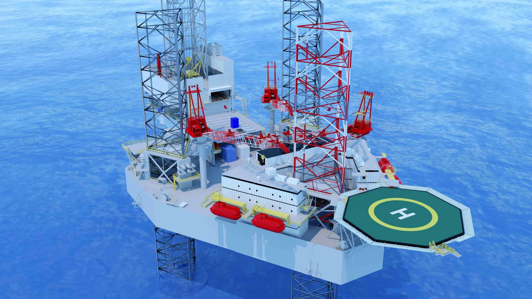
Our solutions
Reality capture / Spatial modeling
Contxt
Turn existing spaces into digital models that teams can explore, discuss and use as a reference for planning.
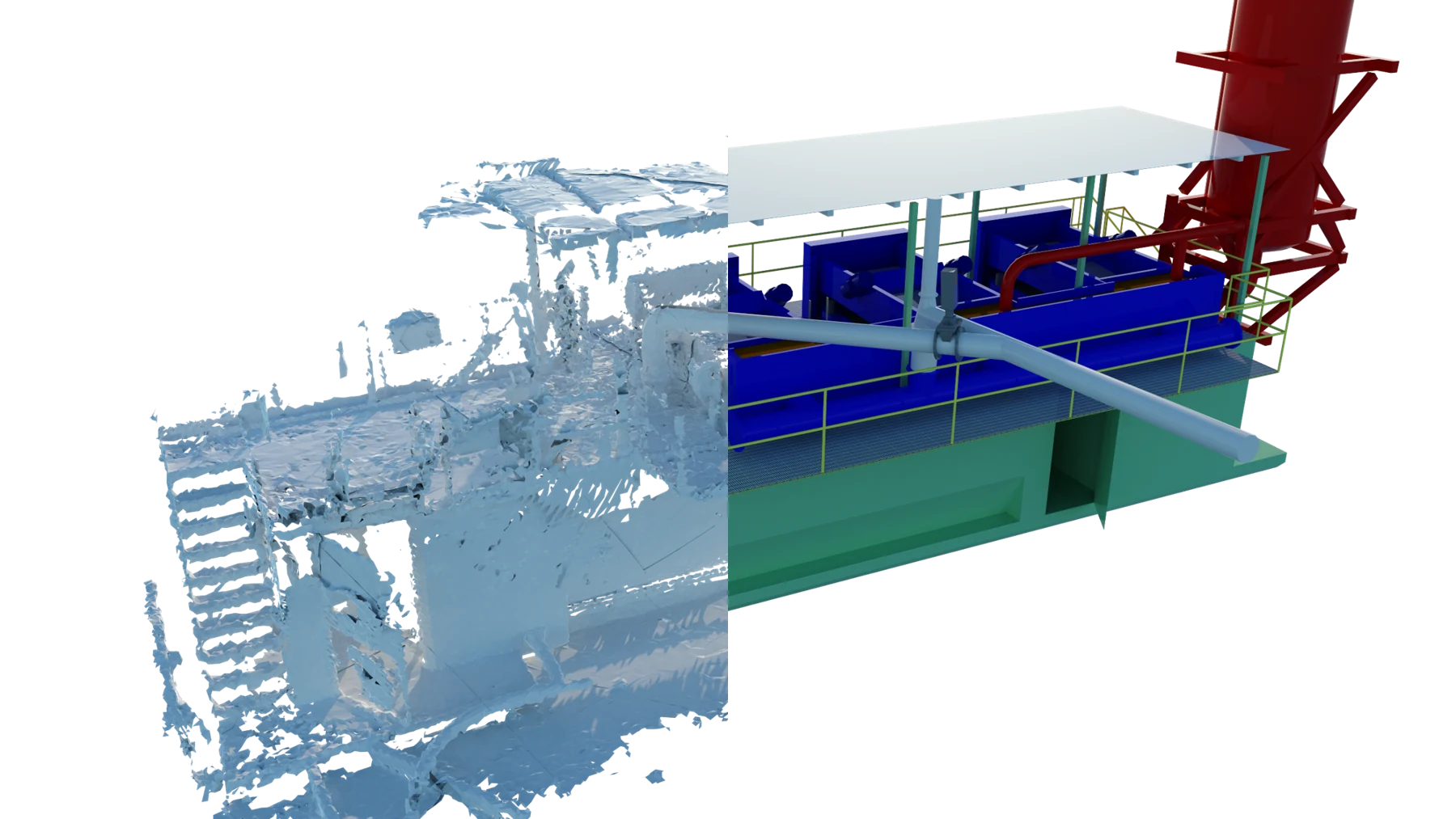
A practical application
Bring the site into the conversation.
Contxt combines site capture with 3D modeling to make existing conditions easier to understand. A spatial model adds context to drawings, photographs and site observations, giving field and engineering teams a shared reference for equipment placement, project planning and orientation.
Where it can help
- Capture and model existing project spaces
- Review equipment placement and layout constraints
- Support engineering and project planning
- Prepare teams for site visits and orientation