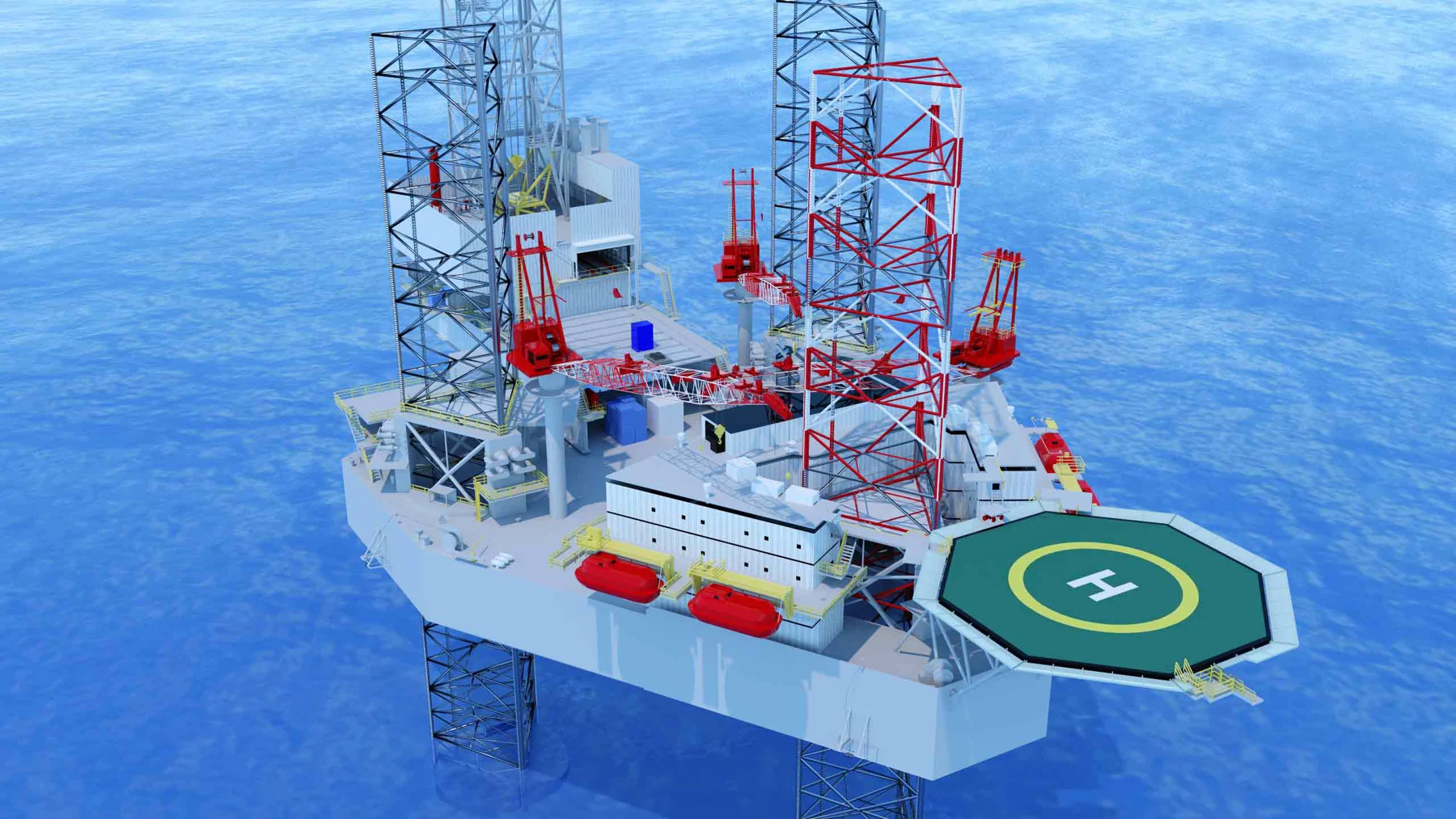
Selected work
Reality capture / 3D modeling
From site scan to shared understanding
Bring existing conditions into a digital environment that teams can explore, discuss and plan around.
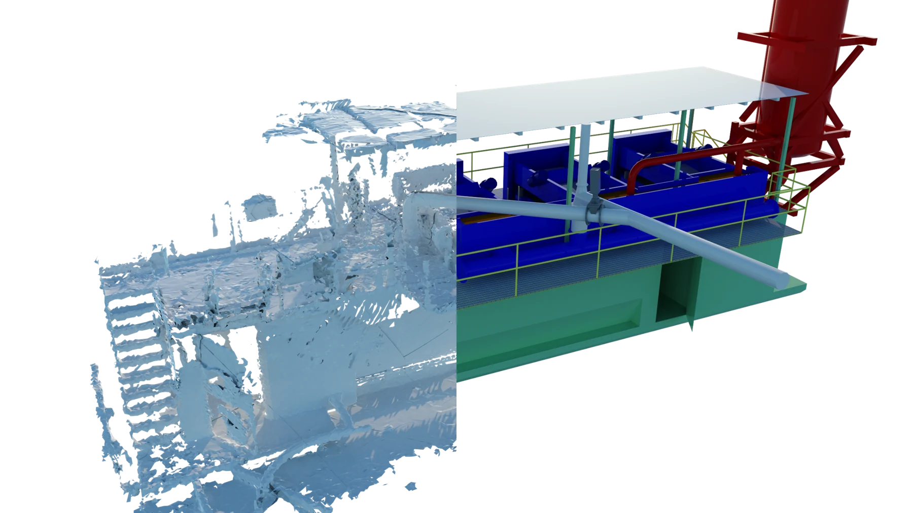
A practical application
A common view.
A clearer conversation.
Complex facilities can be difficult to understand through drawings and photographs alone. A spatial model brings equipment, structures and their relationships into a common visual reference.
Where it can help
- Review existing spatial conditions
- Communicate equipment and layout constraints
- Support remote engineering discussions